
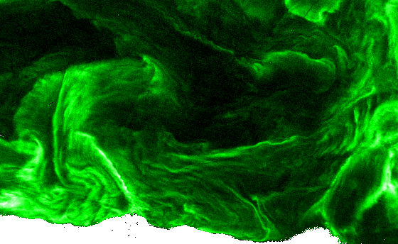
Water Intelligence & Aquatic Ecosystems
Water quality, aquaculture, pollution monitoring, chlorophyll, bloom detection, ecosystem health and real-time water intelligence.
Explore HydroSat Pulse →Sat-la-trix transforms satellite observations and scientific algorithms into actionable intelligence for water, ecosystems and environmental monitoring.
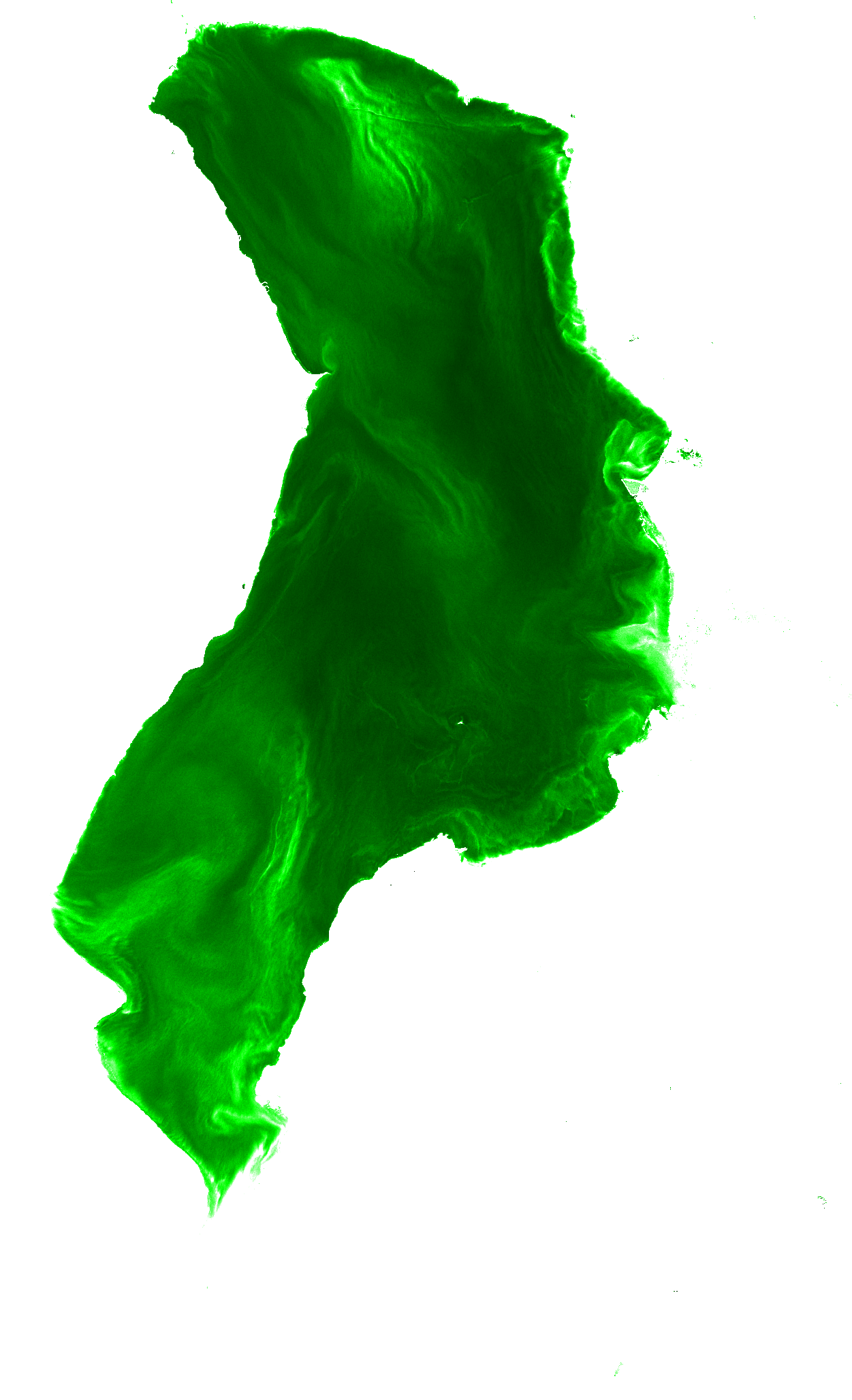
Earth observation gives us an extraordinary view of our planet. The challenge is turning that view into information people can actually use.
Satlatrix brings together remote sensing science, environmental physics, satellite data processing and computational analytics to build practical Earth-intelligence systems.
Our technology stack connects satellite observations with scientific models and decision-ready outputs.
NOVA-X — Next-generation Optical & Validation-enhanced Architectural eXpert System is Satlatrix’s proprietary Earth-observation R&D framework and technology architecture, combining physics-informed modelling, data-driven methods and scientific validation to deliver spectral intelligence, geospatial analytics and advanced Earth-observation products.
Discuss the technology ↗A water-intelligence platform combining satellite observations, advanced water-quality analytics and connected in-situ sensing for scalable monitoring.
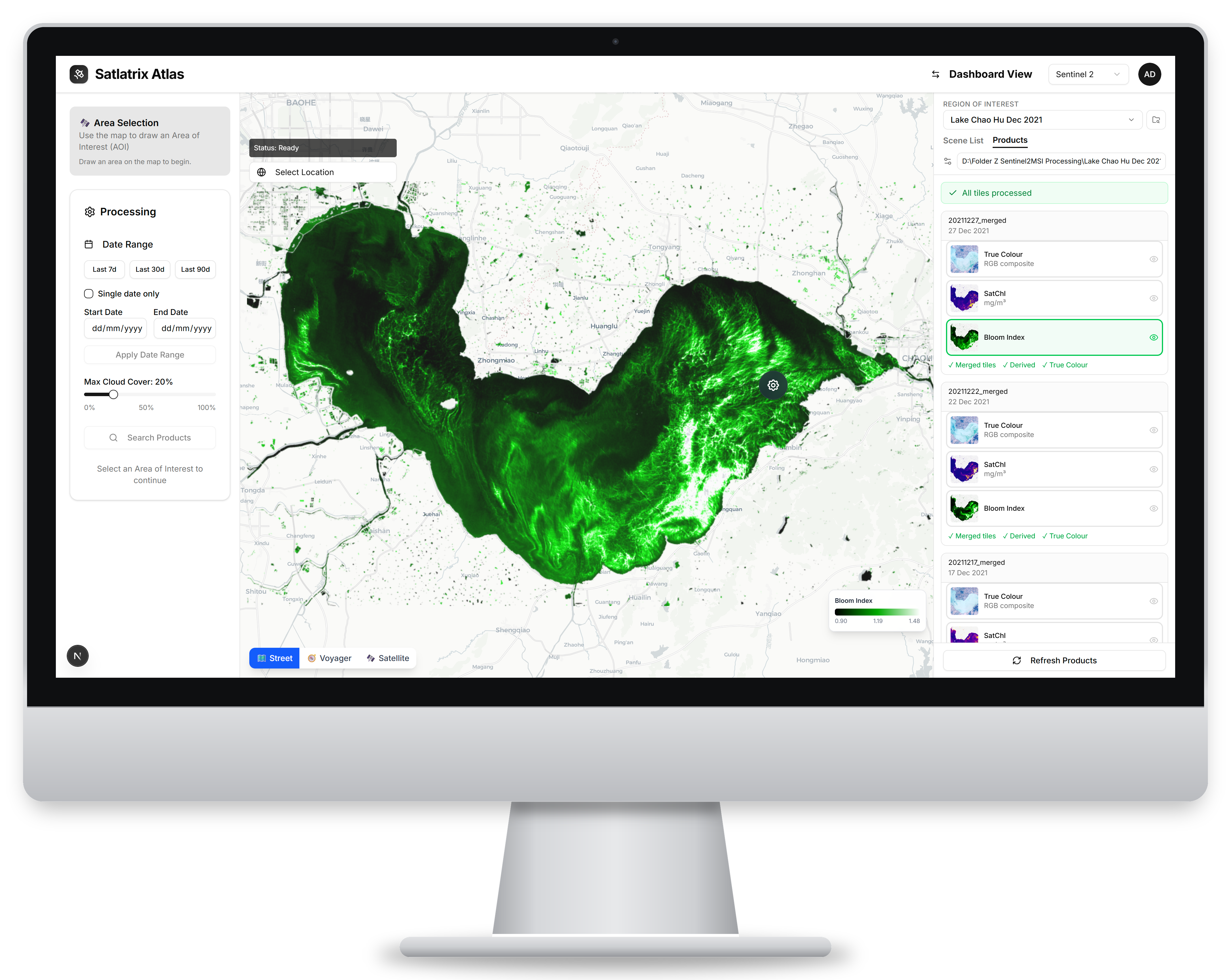
Satlatrix Atlas is our web-based Earth-observation and geospatial analytics platform, powered by NOVA-X, our proprietary R&D framework for satellite-data processing, scientific algorithms, modelling, analysis, and environmental product generation and visualization.
The Satlatrix Environmental Decision Intelligence Platform (EDIP) is our AI-enabled analytics and decision-support system for aquatic ecosystems, combining statistical modelling, machine learning and AI to derive actionable environmental intelligence from complex Earth observation and field data.
Focused on domains where Earth observation can make monitoring more scalable, scientific and timely.
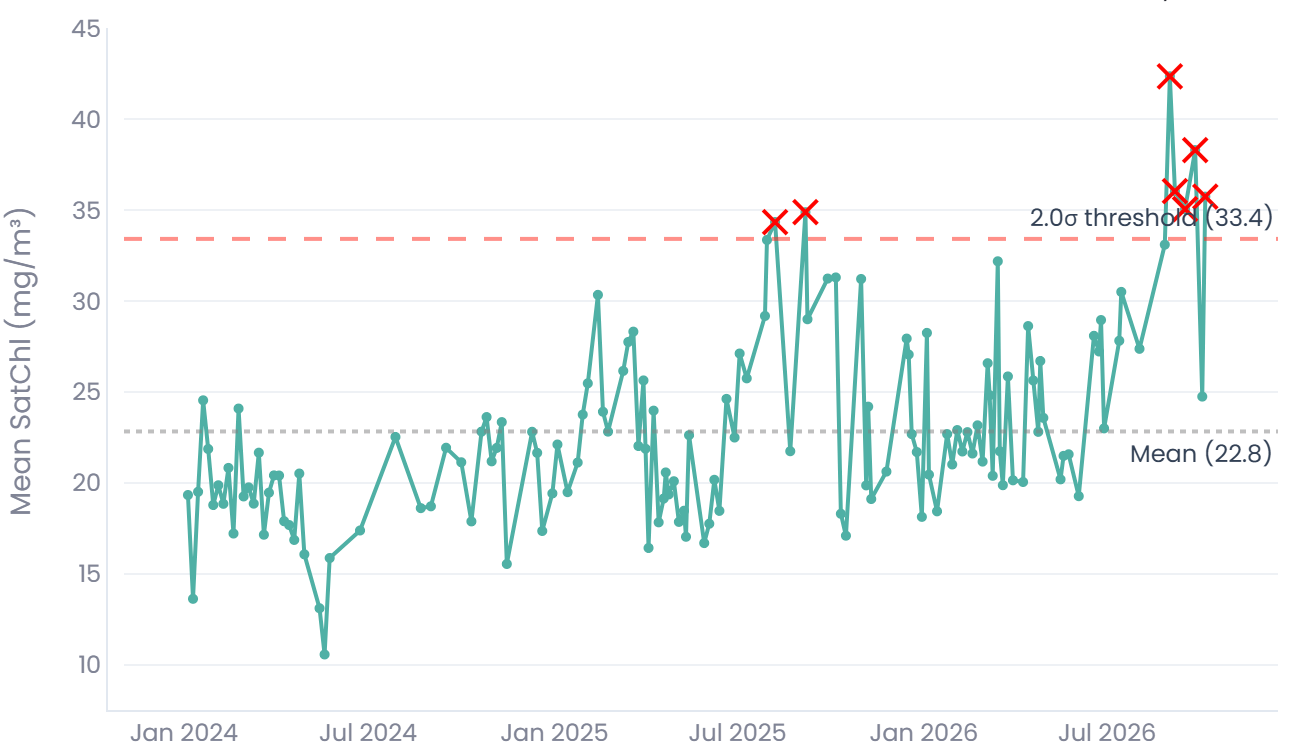
Water quality, aquaculture, pollution monitoring, chlorophyll, bloom detection, ecosystem health and real-time water intelligence.
Explore HydroSat Pulse →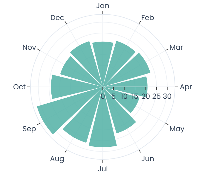
Scientific processing and custom satellite-data products for environmental applications.
Explore technology →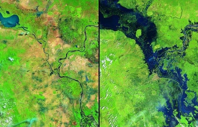
Satellite-based environmental assessment, geospatial analysis and scientific decision support to understand environmental conditions, evaluate change and inform management decisions.
Discuss a project →Satlatrix is rooted in remote sensing, atmospheric and aquatic science, environmental physics, and field-based environmental measurements.
We develop technology from the measurement problem backwards — combining observations, physical understanding and computational methods to create reliable environmental intelligence.
Satlatrix is building toward a deeper Earth-observation capability — from scientific analytics and environmental intelligence to advanced sensing systems.
Start a conversation →Tell us what you want to monitor, measure or understand.